Back Sar product, CAL-VAL
Satellite SAR data-based products for the generation of coseismic deformation maps due to moderate-to-strong earthquakes
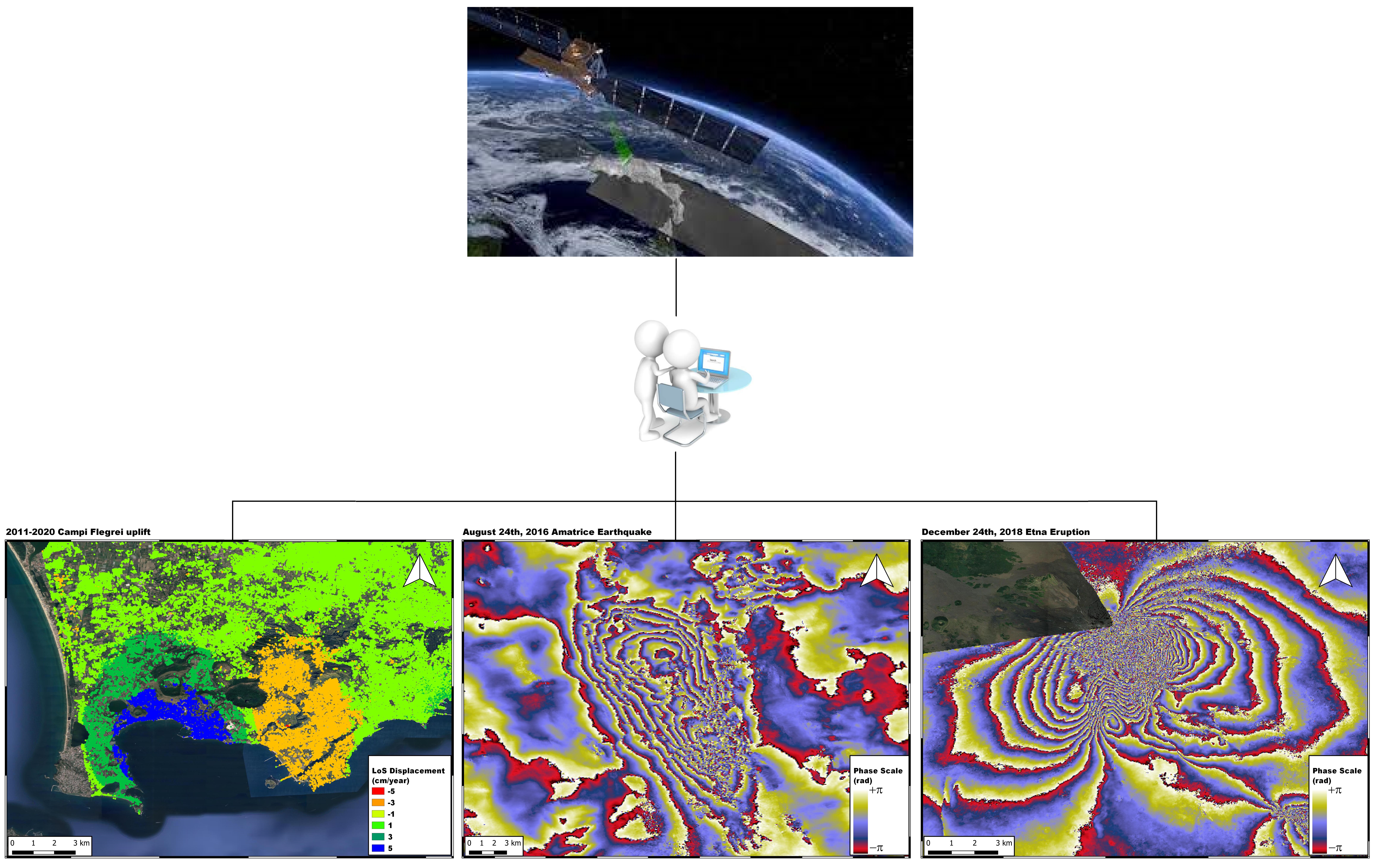
The SAR Products module aims to generate surface deformation maps induced by seismic events of Local Magnitude (ML) greater than or equal to 4.5 using satellite data acquired by SAR sensors. The use of a pair of SAR images, acquired respectively before and after an earthquake, allows to estimate the coseismic displacement field thanks to a data processing technique known as SAR Interferometry (InSAR). The activation thresholds for the generation of the products are linked, in addition to the ML of the events, also to the geographical area in which they occur. The subdivision of the geographical areas follows the same schematization chosen for the monitoring activities carried out by the Monitoring Room of the INGV in Rome. There will therefore be an activation threshold for a ML greater than or equal to 4.5 in the so-called Sector 1, which includes the Italian territory extending up to 50 km from the coastline and national borders. An ML threshold greater than or equal to 6 in Sector 2, which includes the Balkan area and part of Austria, Germany, Switzerland and France and finally an activation threshold of ML greater than or equal to 6.5 in the so-called CAT Sector which includes part of the countries bordering the Euro-Mediterranean area.


