Back Geodetic data modeling (3D)
Geodetic data modeling (3D)
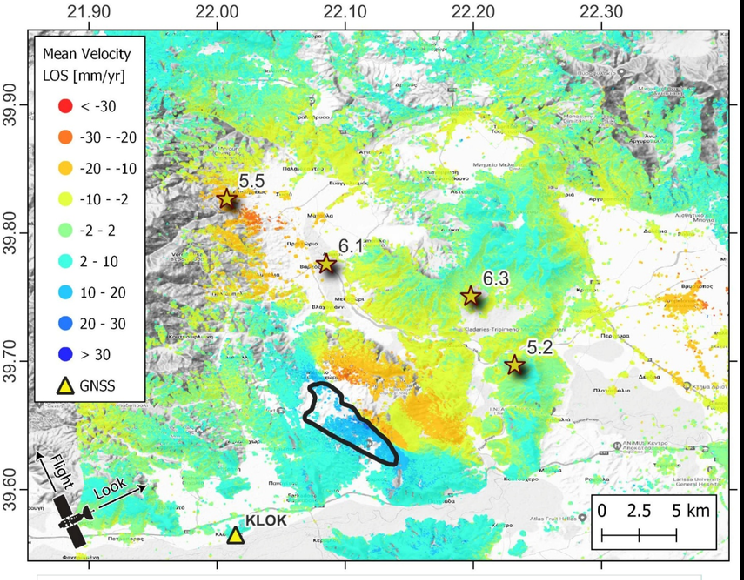
Aim of this module is providing information from geodetic, InSAR and GNSS. This module can be activated on demand or automatically triggered at the occurrence of a worldwide seismic event above a predefined threshold. After the availability of a focal mechanism, a finite source is inferred and used to predict the induced permanent deformation. After the availability of any geodetic measurement, this module provides the parameters of the distributed-slip, finite source responsible for the event. Eventually, the modeled source is used to calculate the stress change induced onto surrounding known seismogenic sources.


