Back Damage mapping
Damage mapping
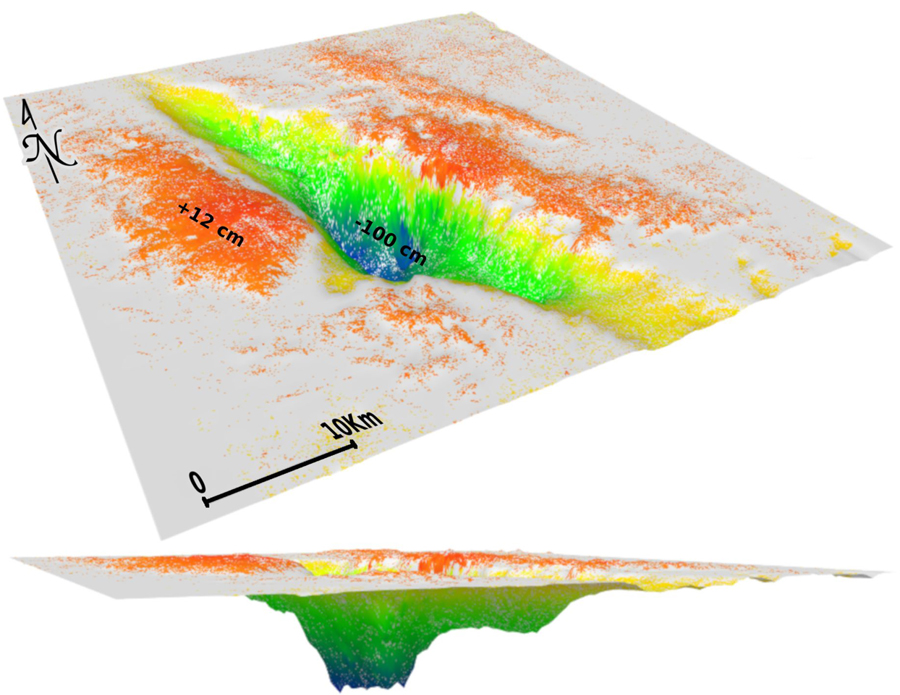
The Damage Mapping module focuses on assessing the damages in urban and metropolitan areas following earthquakes through satellite images analysis. The satellite damage assessment is based on change detection methods, capable of identifying the changes of the observed objects on two (or more) scenes acquired at different times (before and after a seismic event). Both Optical and SAR imageries can be used with a data fusion approach (or separately). Among the several satellites/sensors considered for the processing there are Sentinel-1, Cosmo-SkyMed, Sentinel-2, PRISMA.


